Mapping the Future of Conservation: GMSTCI Strengthens Map Reading and GIS Capacity at Shell Beach
Mapping the Future of Conservation: GMSTCI Strengthens Map Reading and GIS Capacity at Shell Beach
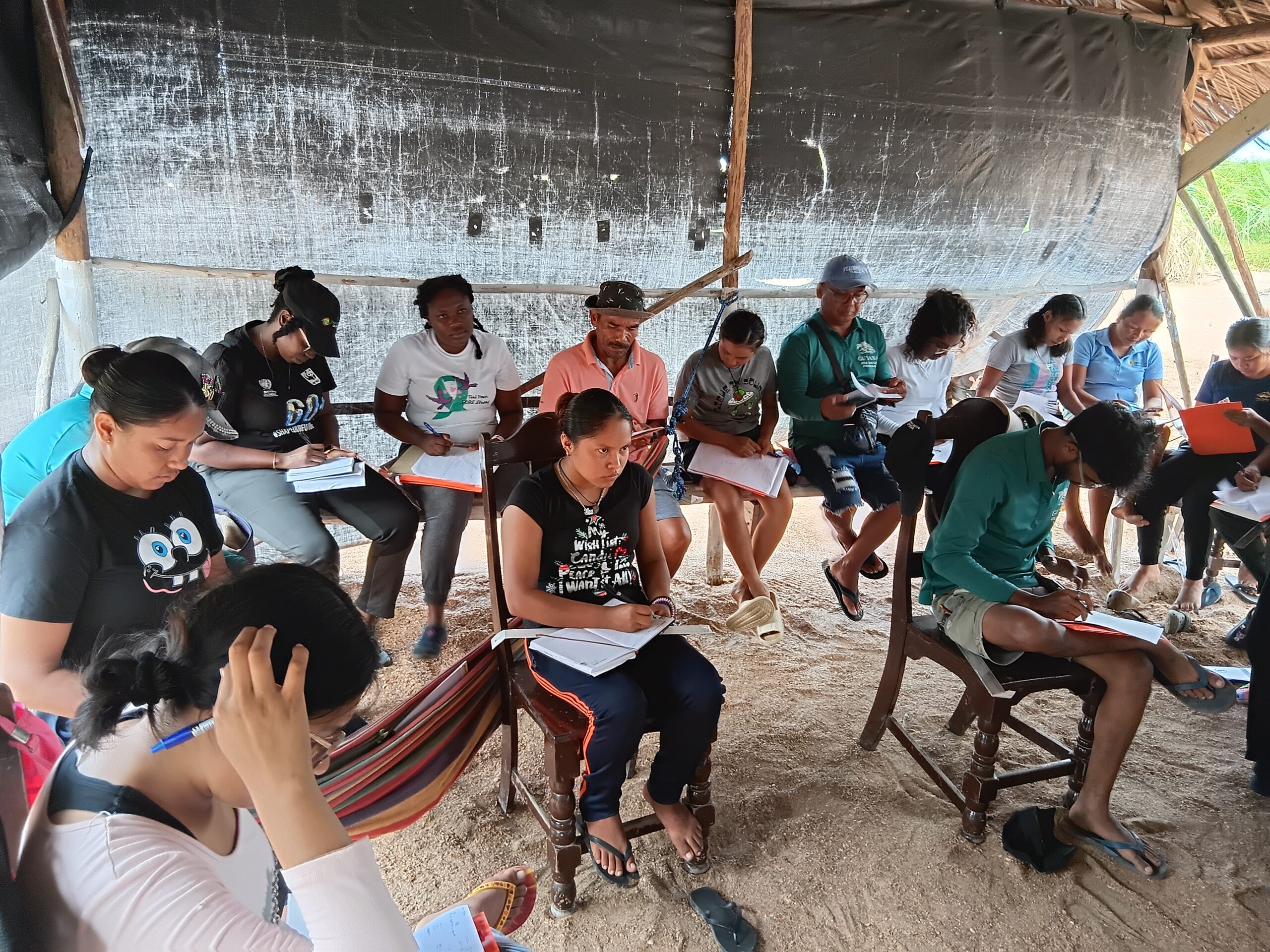
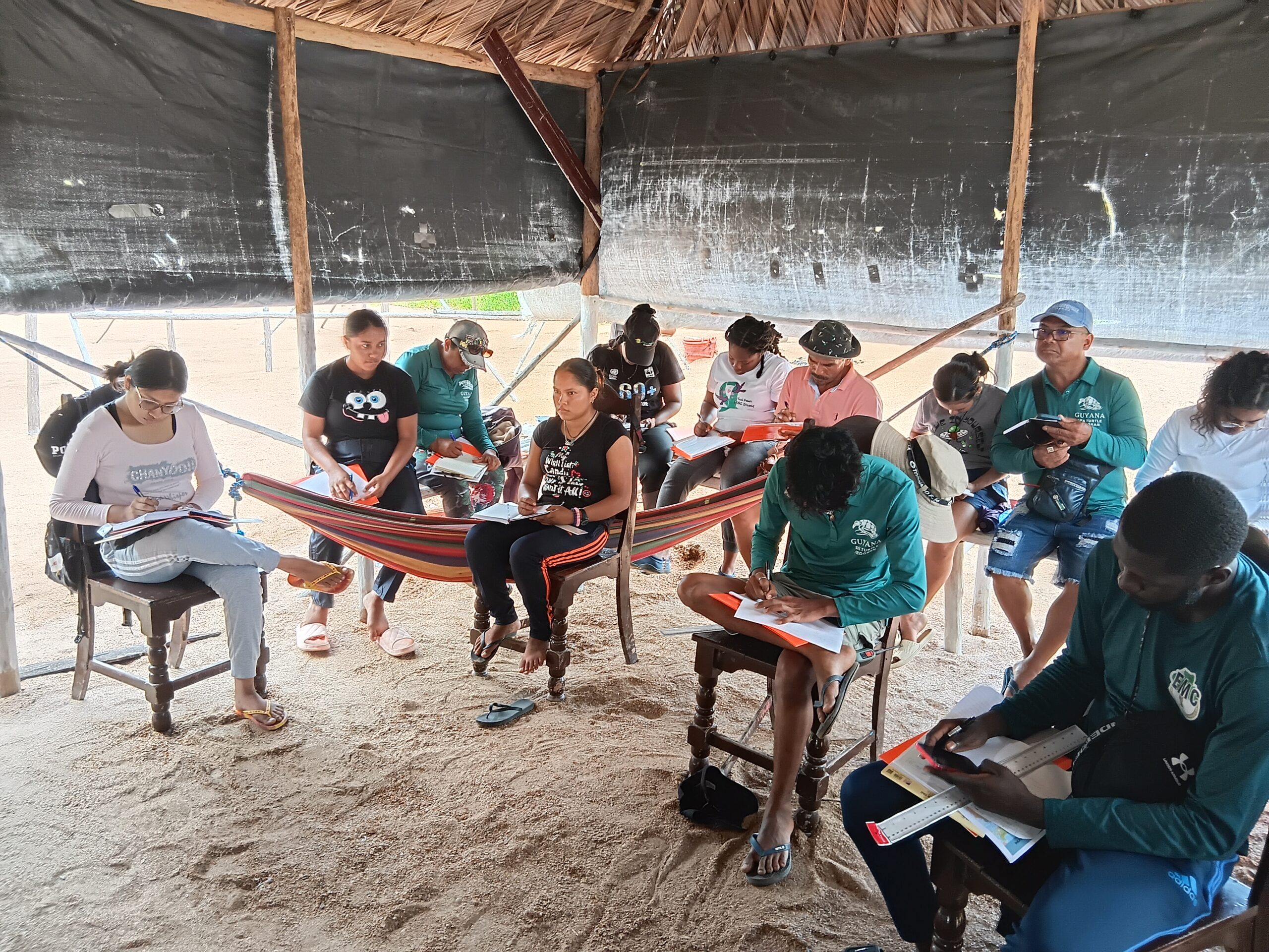
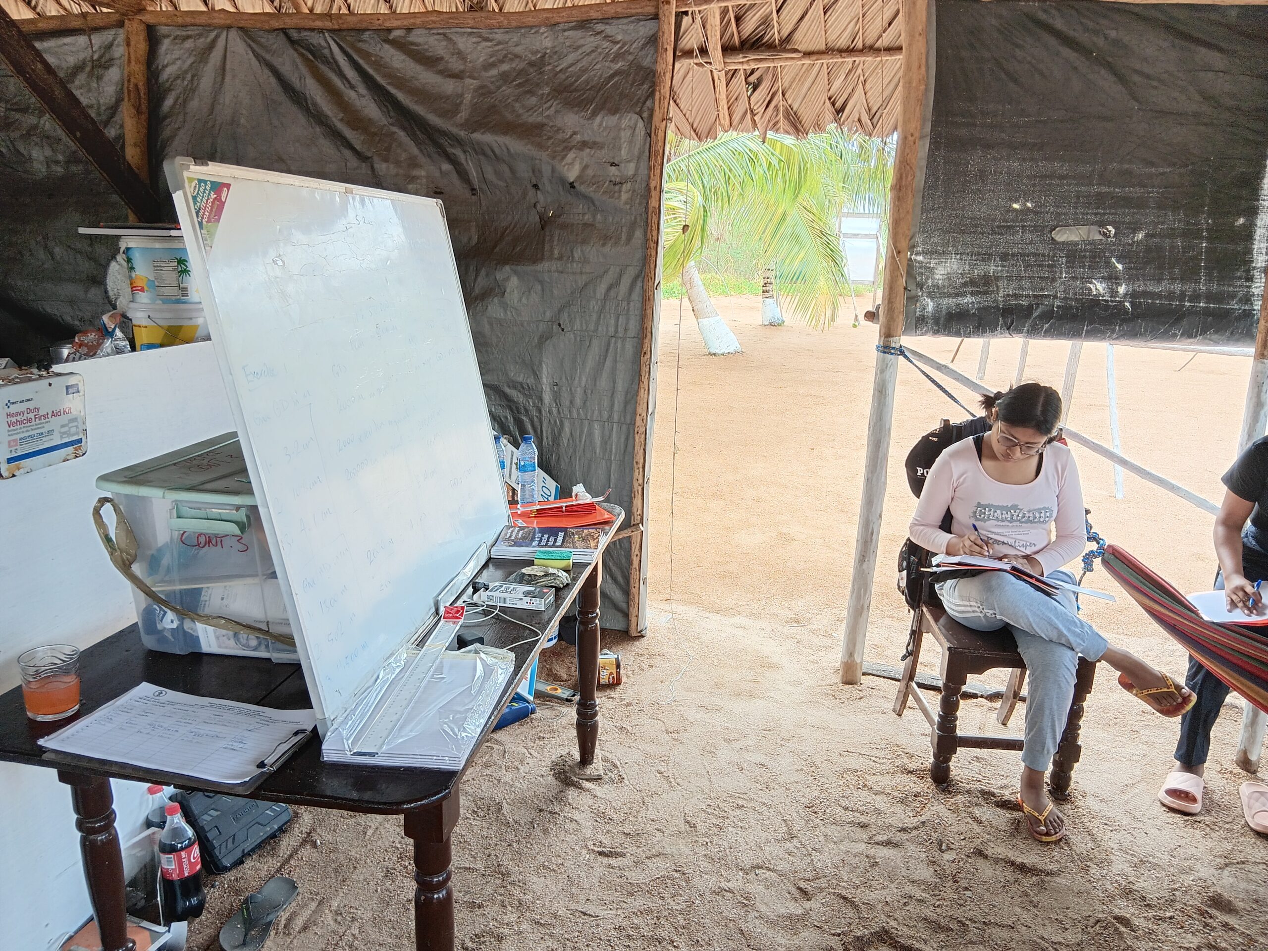
The Guyana Mining School and Training Centre Inc. (GMSTCI) recently supported a 14-day Map Reading, Navigation, and GIS Training Workshop hosted at the Protected Areas Commission (PAC) Facility on Almond Beach, within the Shell Beach Protected Area. The training was conducted by Instructor I, Mr. Nathan Indarsingh, and brought together 30 participants from partner agencies including the Protected Areas Commission (PAC), Environmental Management Council (EMC), Environmental Protection Agency (EPA), and the Guyana Marine Conservation Society (GMCS).
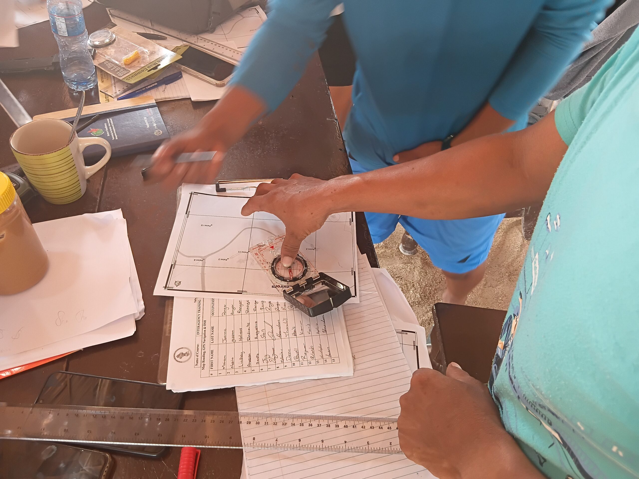
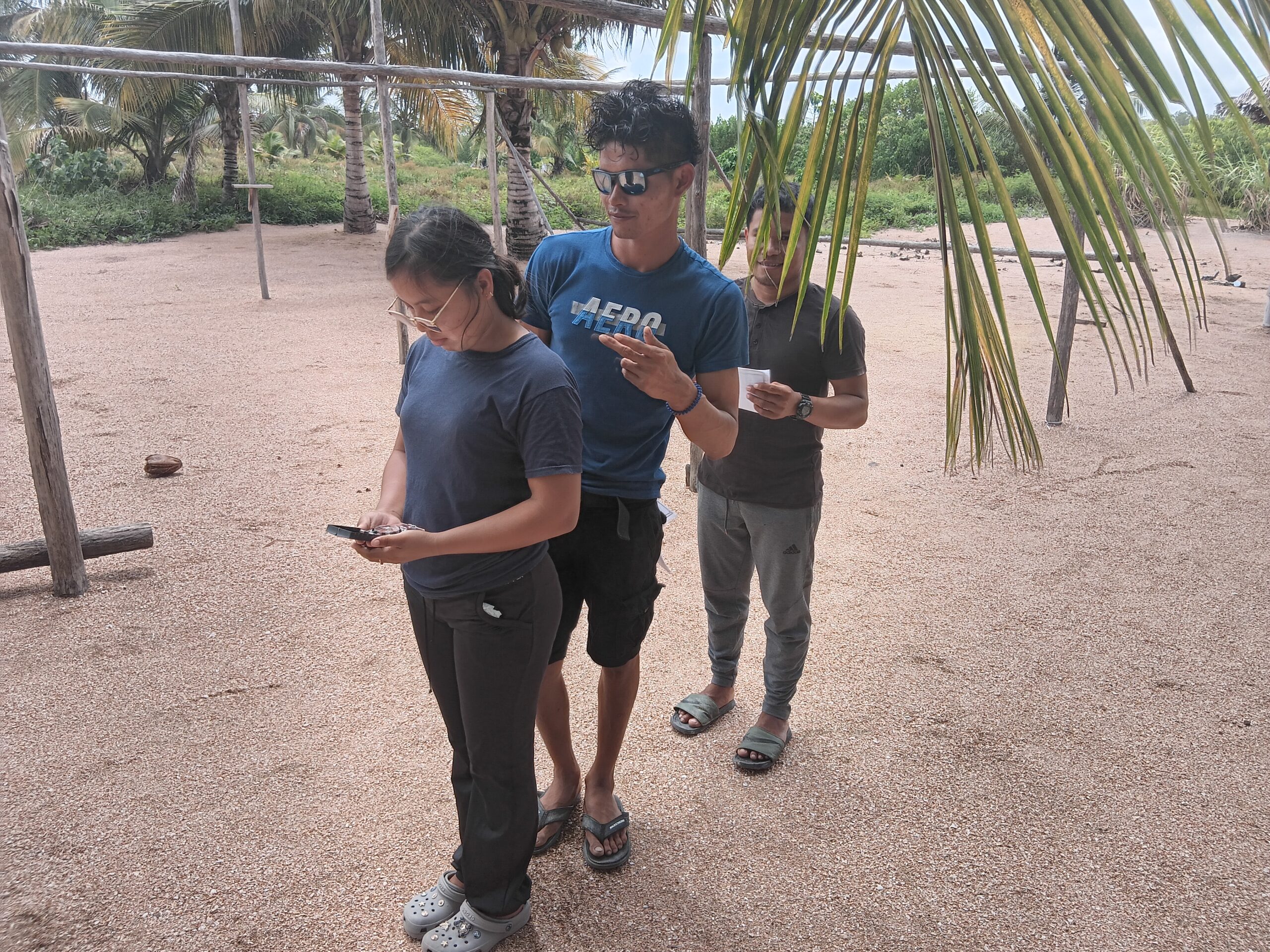
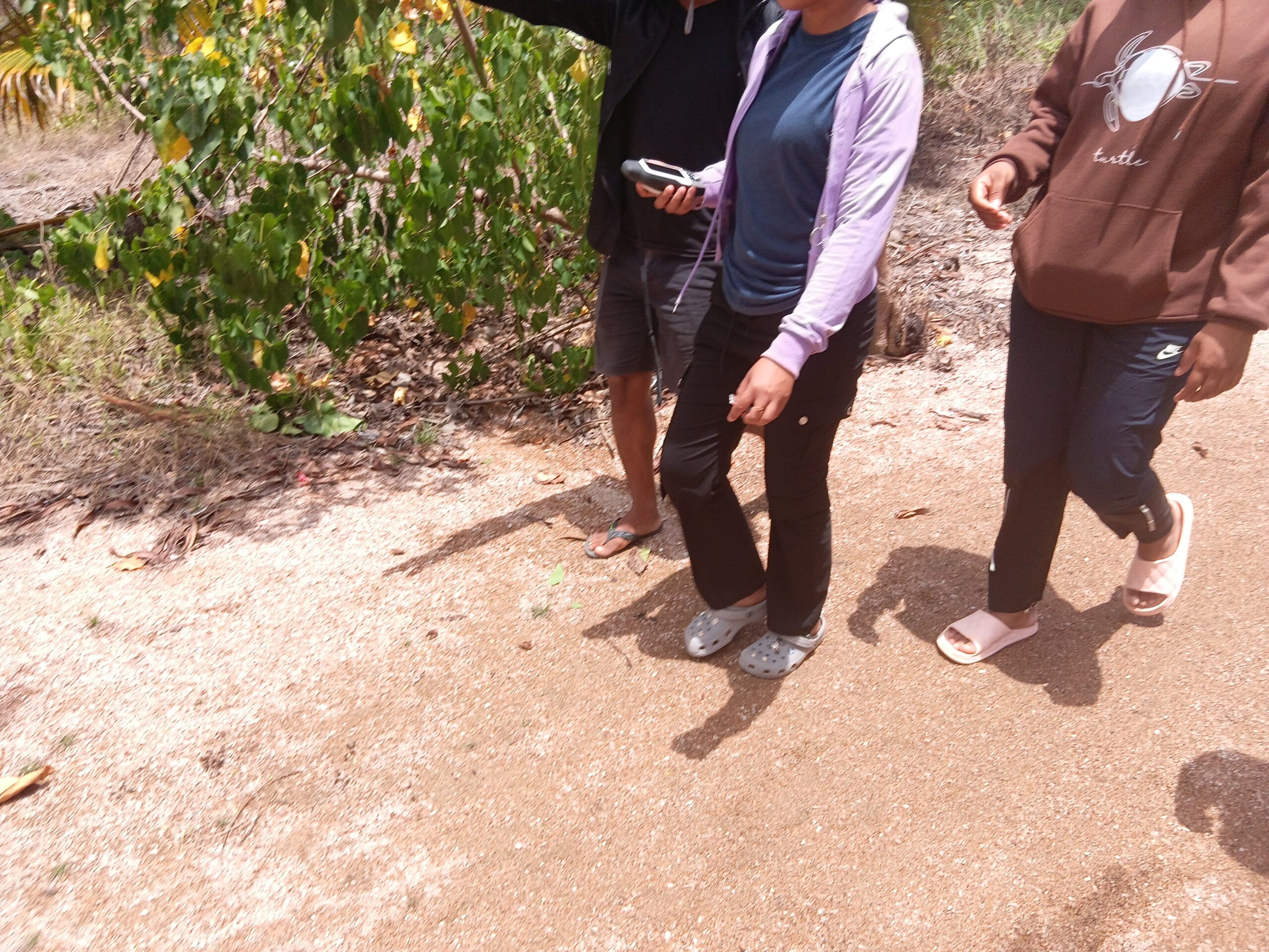
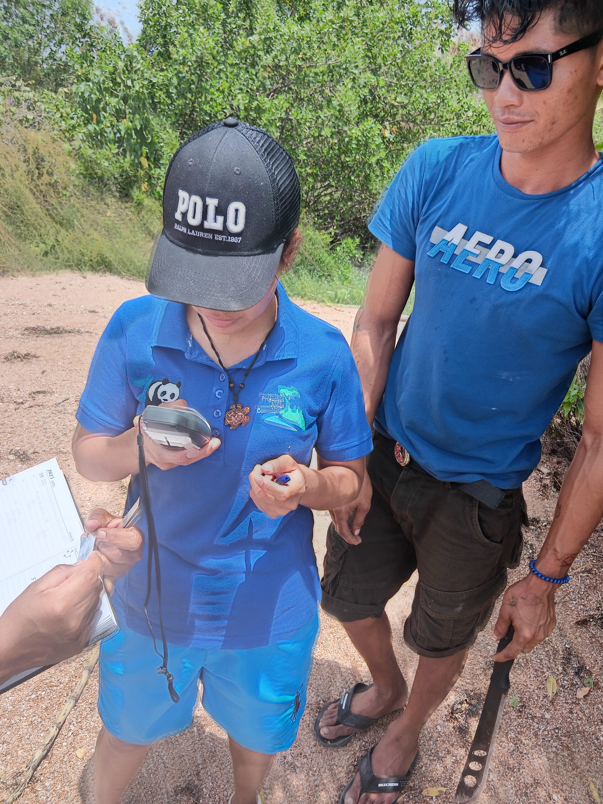
Over the two-week period, participants engaged in practical sessions designed to build technical competence in map interpretation, compass and pacing techniques, GPS operations, and spatial data management using QGIS software. The training emphasized hands-on learning, culminating in a spirited “treasure hunt” exercise where groups used GPS devices to locate hidden tags across mapped coordinates, an activity that reinforced teamwork and applied navigation skills in the field.
Participants expressed appreciation for the interactive format and the real-world applicability of the training, noting that the skills gained would support ongoing efforts in biodiversity conservation and environmental enforcement.
The Guyana Mining School continues to play a pivotal role in building national capacity through targeted technical training, advancing both environmental stewardship and responsible resource management across Guyana.
October 22, 2025
0 responses on "Mapping the Future of Conservation: GMSTCI Strengthens Map Reading and GIS Capacity at Shell Beach"

0 responses on "Mapping the Future of Conservation: GMSTCI Strengthens Map Reading and GIS Capacity at Shell Beach"