Building GIS Capacity: Successful Completion of QGIS Training at Civil Aviation Training School (CATS)
Building GIS Capacity: Successful Completion of QGIS Training at Civil Aviation Training School (CATS)
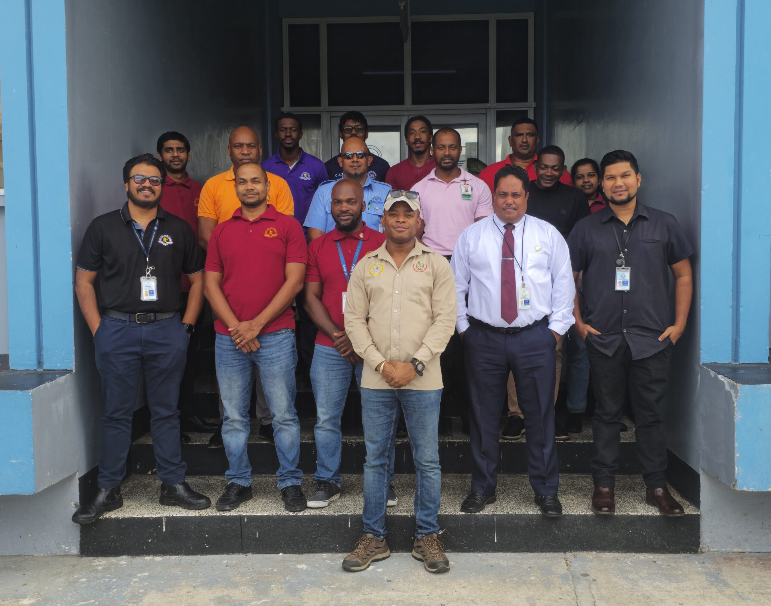
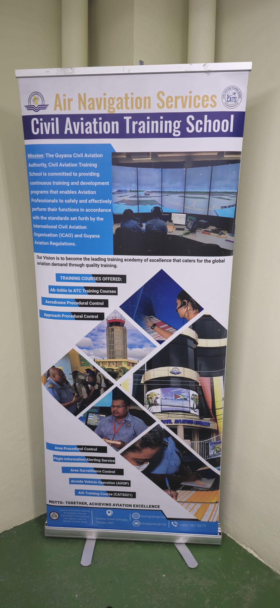
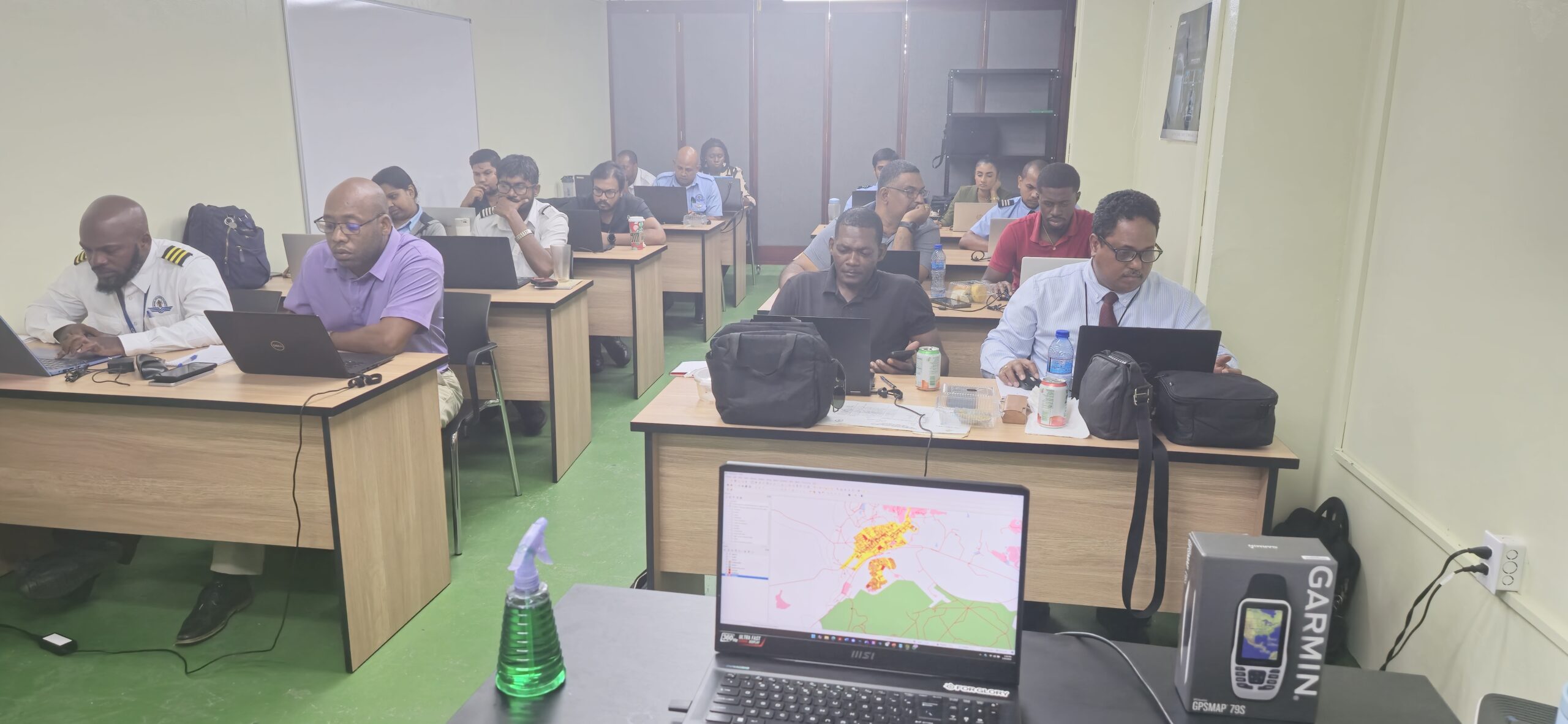
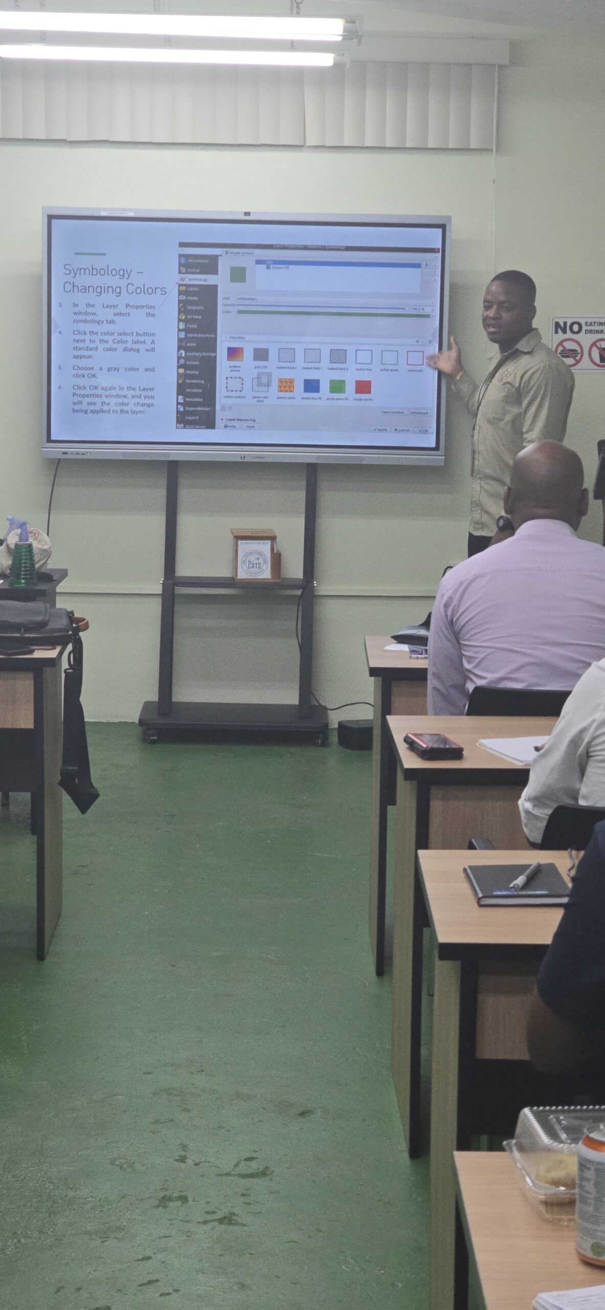
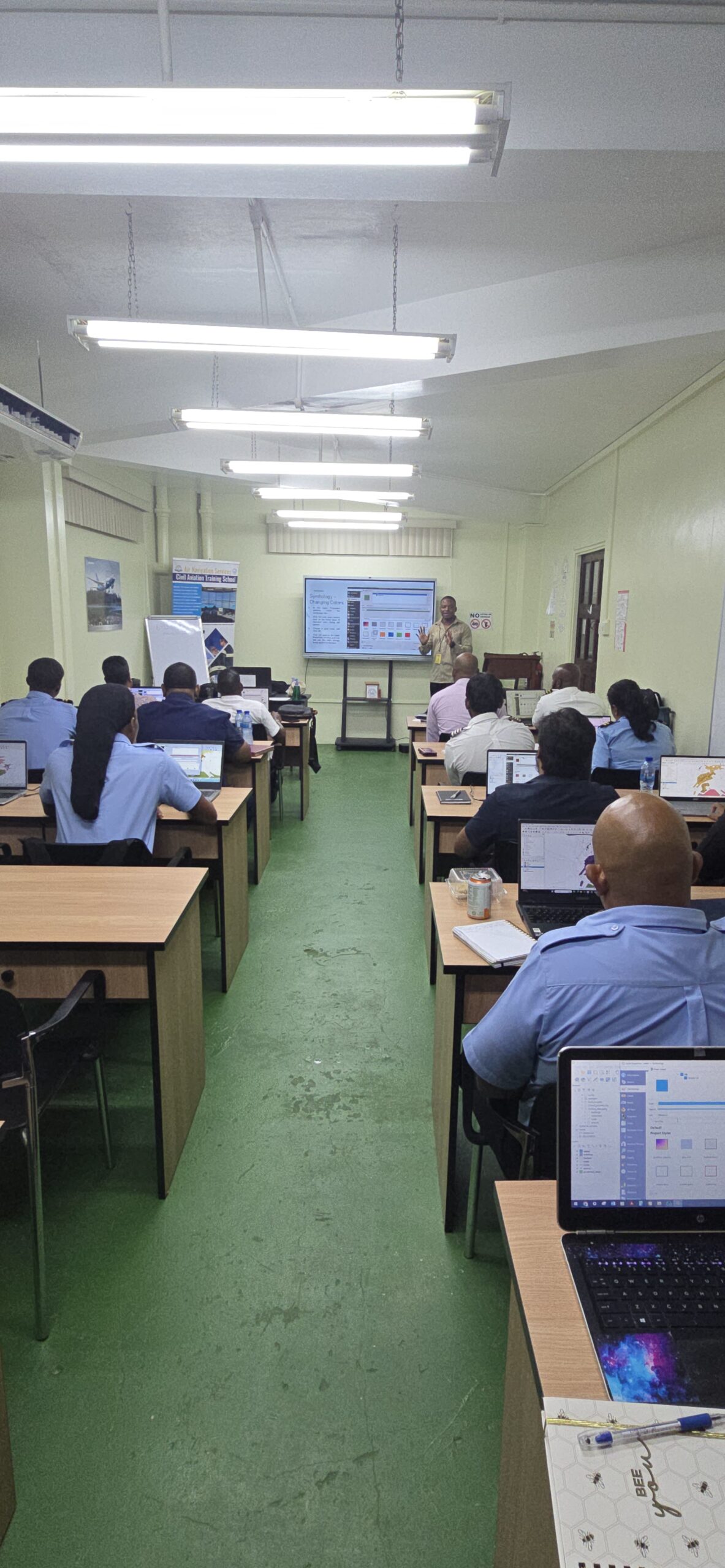
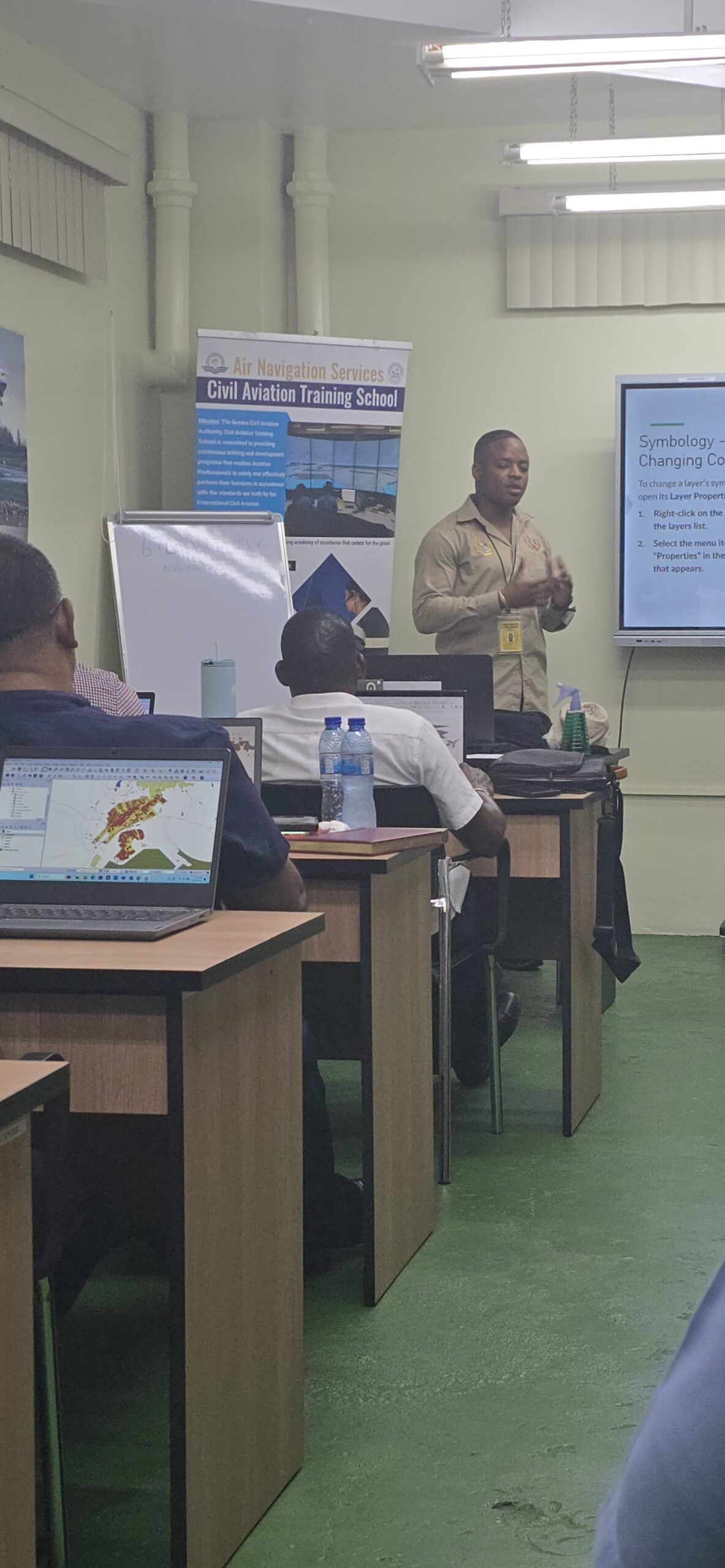
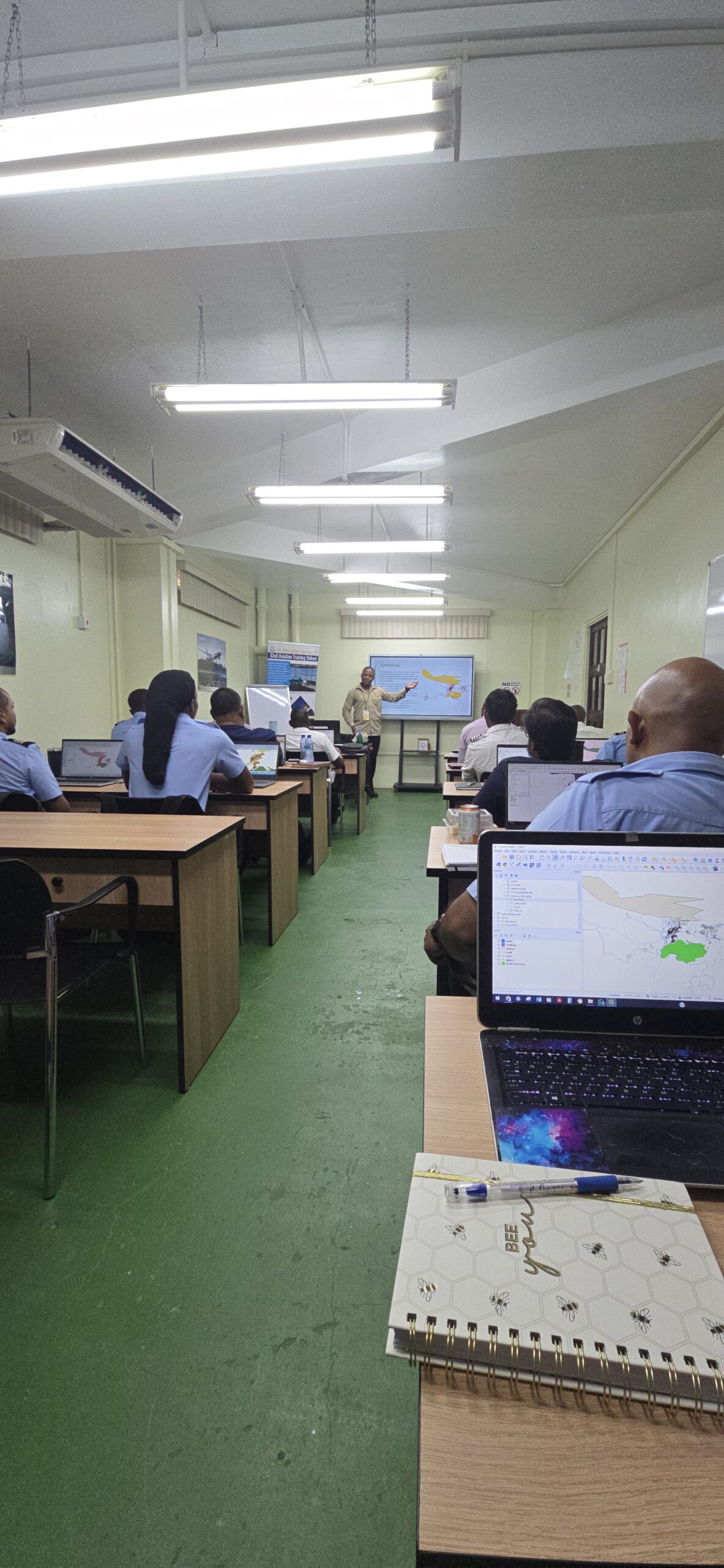
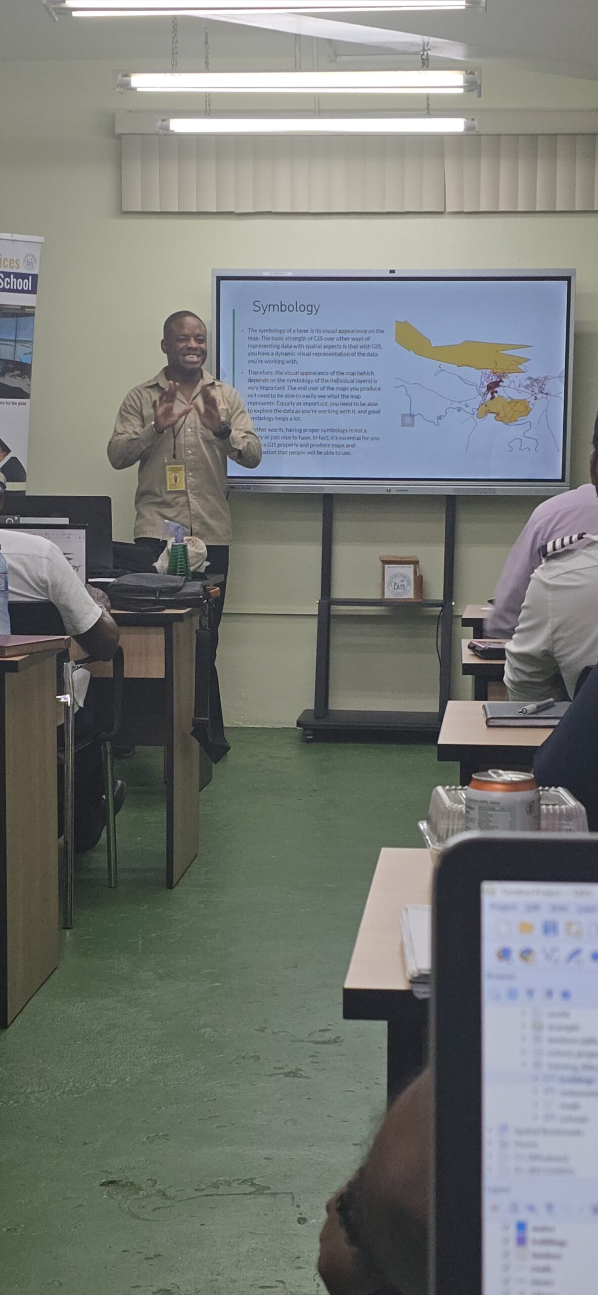
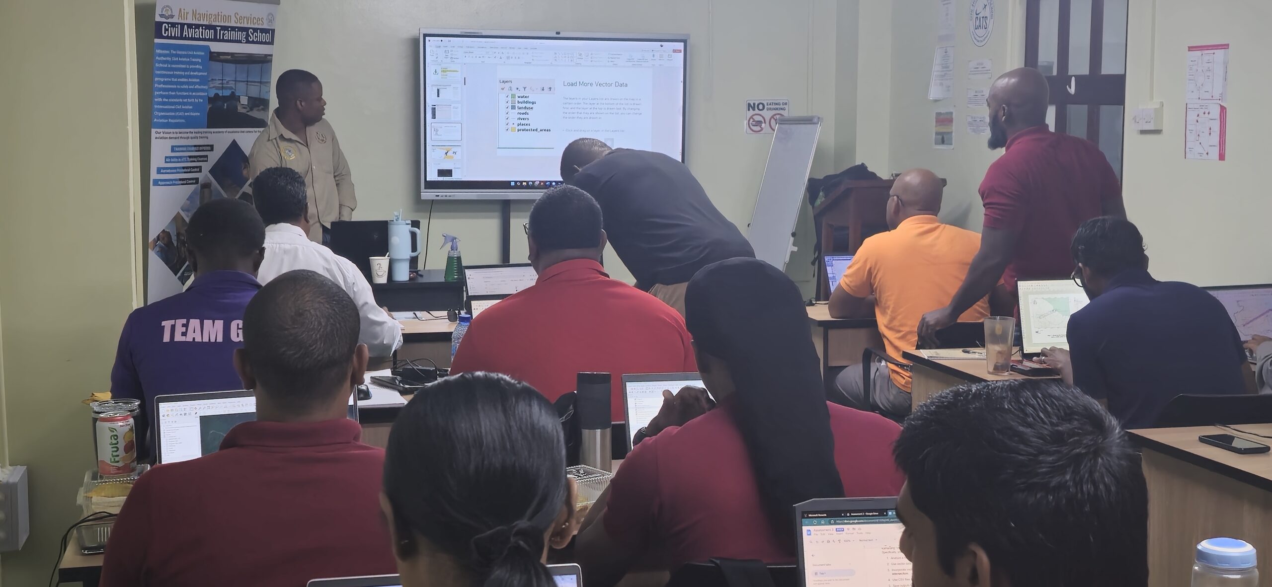
The Guyana Mining School and Training Centre Inc. conducted the Introduction to GIS (QGIS) course from January 20–24, 2025, at the Civil Aviation Training School (CATS), Timehri, Georgetown. Facilitated by Instructor II, Mr. Garvin Douglas, the one-week training equipped 17 participants with essential geospatial data analysis and mapping skills using QGIS, a leading open-source GIS software. The course combined theoretical concepts with hands-on exercises in data manipulation, analysis, and map creation. The program concluded with a 100% pass rate and highlights the Mining School’s ongoing efforts to build technical capacity in GIS.
June 13, 2025
4 responses on "Building GIS Capacity: Successful Completion of QGIS Training at Civil Aviation Training School (CATS)"
Для загрузки последних новинок фильмов воспользуйтесь надежным [url=https://rutor.rest]рутор серч[/url].
Поэтому рекомендуется использовать антивирус и проверять скачанные материалы.
Для загрузки последних новинок фильмов воспользуйтесь надежным [url=https://rutor24x7.blog]new rutor org зайти через зеркало[/url].
Постоянно появляются новые материалы, доступные для скачивания.


Одной из особенностей сайта является возможность сравнения современных
карт с картами из прошлого.
Для загрузки последних новинок фильмов воспользуйтесь надежным [url=https://rutor.rest]рутор серч[/url].
Поэтому рекомендуется использовать антивирус и проверять скачанные материалы.
Good replies in return of this difficulty with genuine arguments and telling everything regarding
that.
Для загрузки последних новинок фильмов воспользуйтесь надежным [url=https://rutor24x7.blog]new rutor org зайти через зеркало[/url].
Постоянно появляются новые материалы, доступные для скачивания.